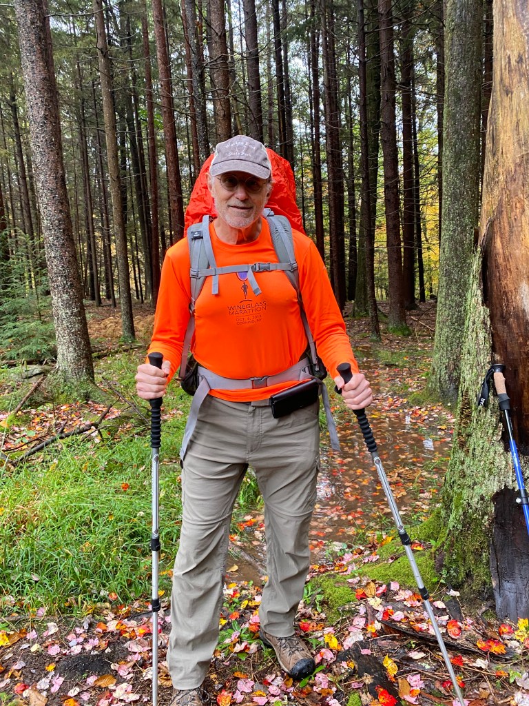

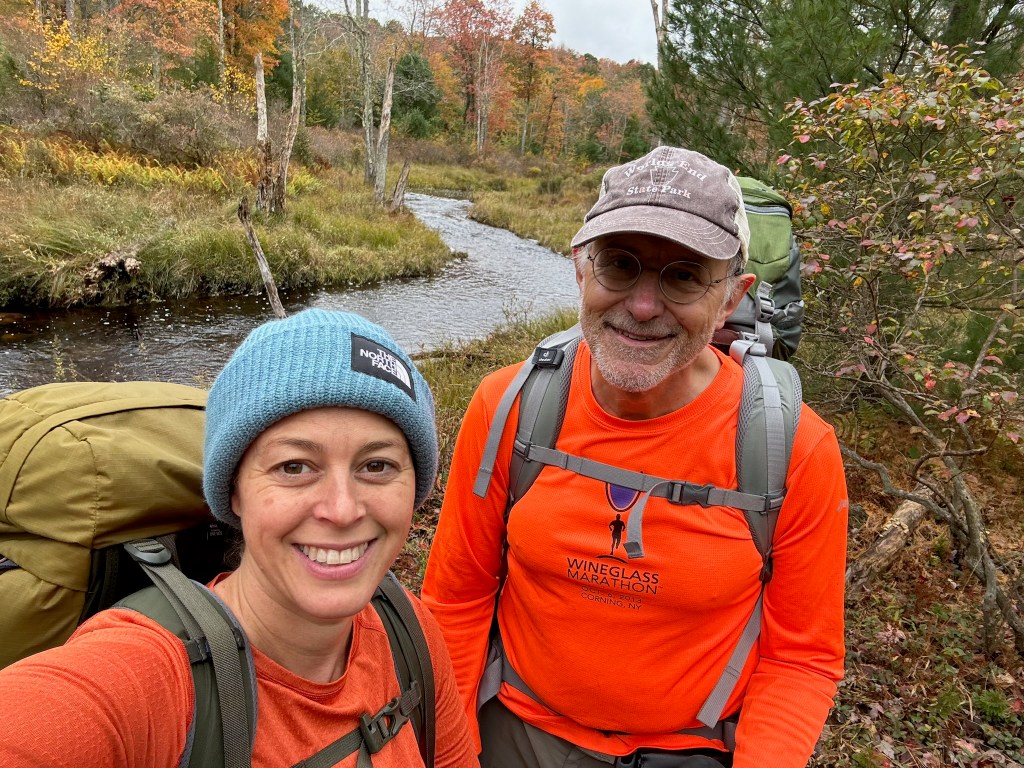
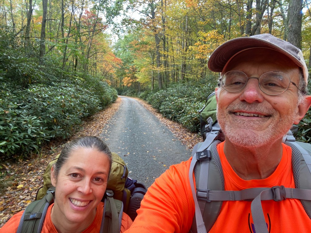
My running and backpacking friend Christine and I headed into the woods last weekend for a three day two night backpacking adventure. We knew rain was forecast for the first day and steeled ourselves to it, thinking we are equipped for rain, so we can deal with it. Our only concern was would we be able to get a fire going with everything thoroughly soaked.
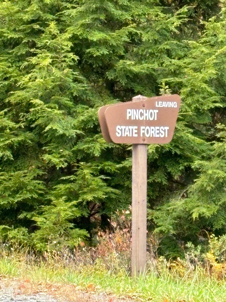
The Pinchot Trail is in the Pinchot State Forest, about 18 miles east of Wilkes-Barre, Pennsylvania. This land was purchased from lumber companies in the late 1800’s, by the actions of Dr. Joseph Rothrock, a pioneering environmentalist and first president of the Pennsylvania Forestry Association. It had been clear cut of old growth trees and left as tree stumps and dried out tree tops. Much of Pennsylvania’s forests had been treated this way. The man after whom the forest was named, Gifford Pinchot, was a prominent forester, served as Governor of Pennsylvania, and was the first chief of the U.S. Forest Service. He promoted clearing and replanting heavily clear-cut areas to preserve the land from fire and erosion. The state forest began small, in 1902, at 2854 acres. It has been greatly expanded several times, most recently in 2005, to 49,635 acres.
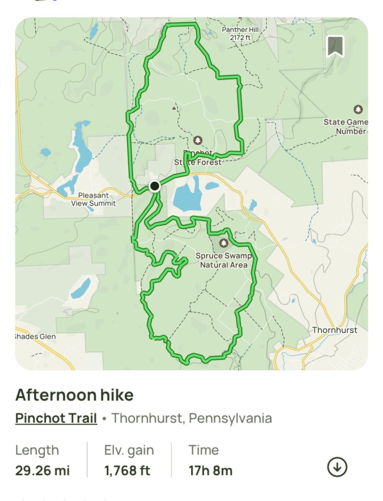
The trail layout was created by connecting multiple shorter trails into two loops, a north and south loop, an effort spearheaded by Frank Gantz. He organized forest service workers and volunteers who blazed the trail with orange blazes.
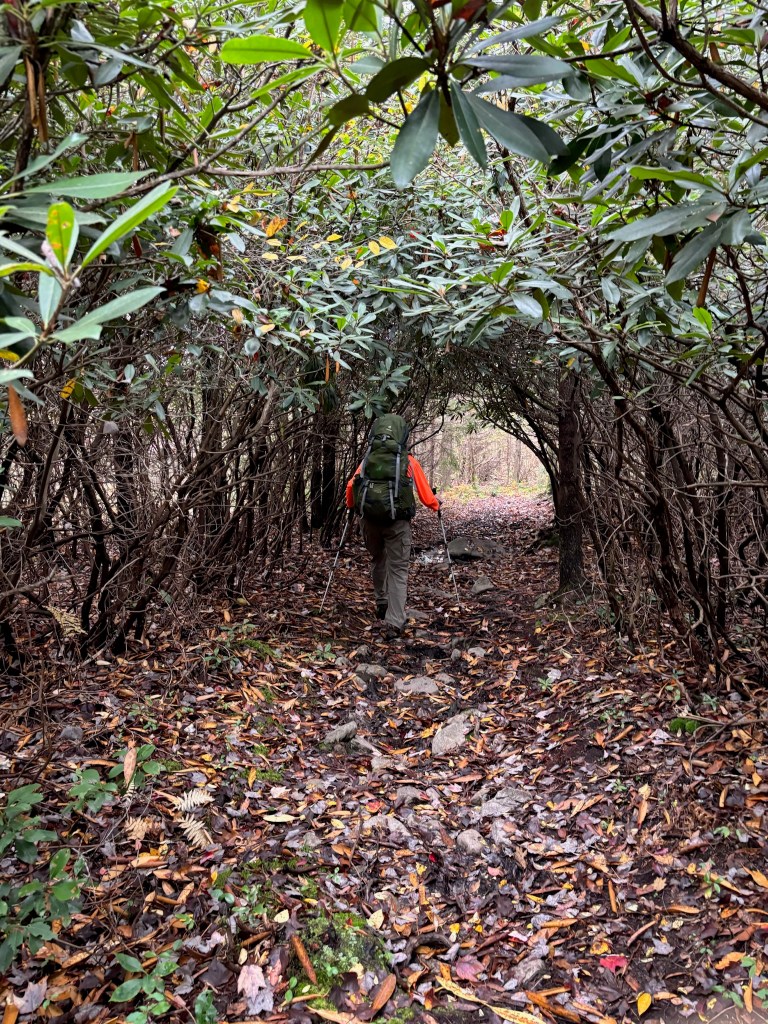
We parked our car at the entrance to the south loop. A light rain was falling with the temperature was in the mid 60’s. We put the rain covers on our backpacks and headed off. We didn’t wear rain jackets, figuring we would just sweat in them and get wet anyway. Once underway, we really were not bothered by the rain, even though it got heavy at times. A unique feature of this trail are long tunnels of rhododendrons arching over one’s head.

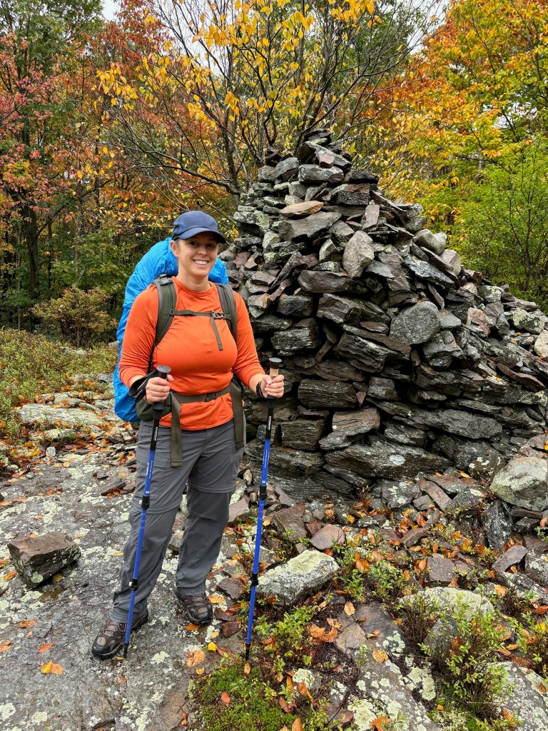
This being autumn, there were no blossoms, but I could imagine them in the spring. The terrain at the start was mostly flat, but into the south loop there are some changes in elevation. The trail passes through hardwood forests (newer growth), the rhododendrons tunnels, and some open meadows. There is a fair amount of mud, standing water and shallow streams to get through, with some parts of the trail quite rocky. We came upon the remains of a stone tower, reported to be a monument to someone who died in a boating accident, although I could not find detailed information on that.

Farther on, the rain did not let up as we made our way through the mostly narrow trails. We found it hard to stop for a break. Any downed logs to sit on were water-soaked and soft. We took a short break standing in the now light rain to have a snack and water then headed on.

We came upon this little creature.

This is the eft form of the eastern newt, which is between the larva and adult stage. According to Wikipedia, this stage lasts about three years, during which time the eft travels seeking a new pond. The bright coloration is an example of aposematism, warning coloration to predators that the tissues contain a toxin, tetrodotoxin.
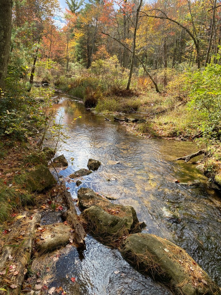
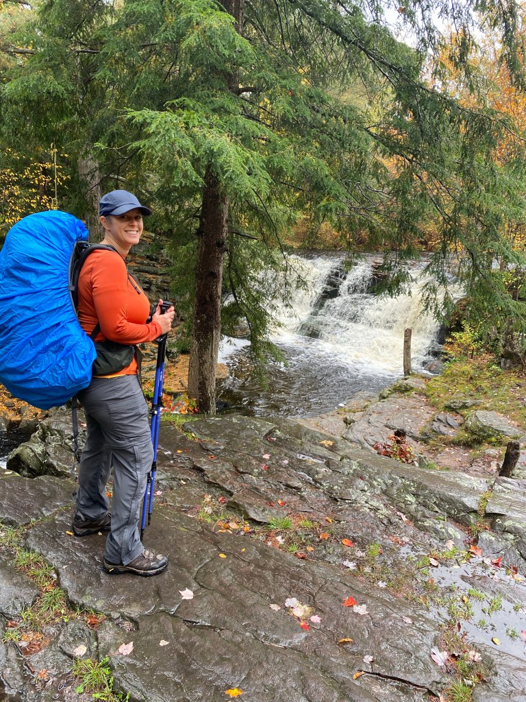
About 7 miles into the south loop, one reaches the waterfall on the Choke Creek. The water was flowing briskly when we got there, making for a beautiful spot to rest a few minutes and enjoy the view. According to write-ups about the area, the falls are not too far from a road, so in the summer, it is a spot crowded with visitors. But on this rainy and chilly Saturday in October, there was no crowd, just us.

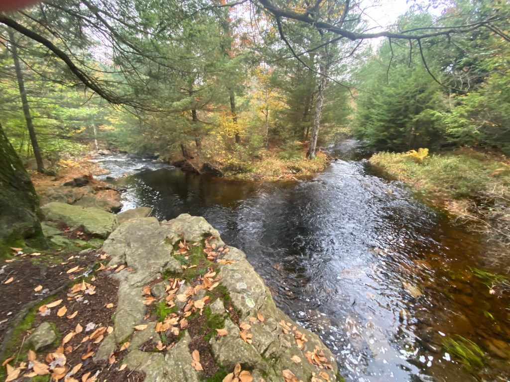
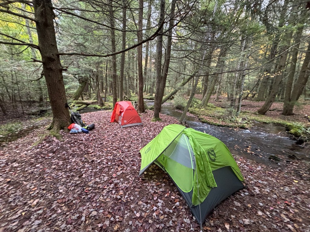
Another two miles and we were at our campsite along Choke Creek. The campsites along this trail are flat areas, usually close to water, with fire rings. The one we chose was very nice, with room for our tents and next to a confluence of creeks forming the larger Choke Creek.
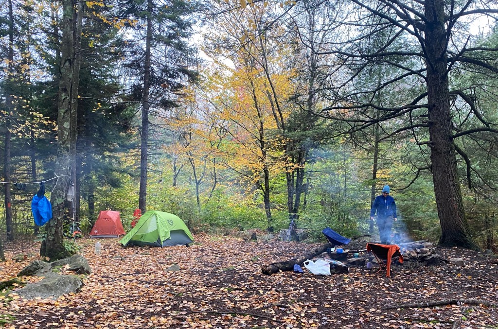
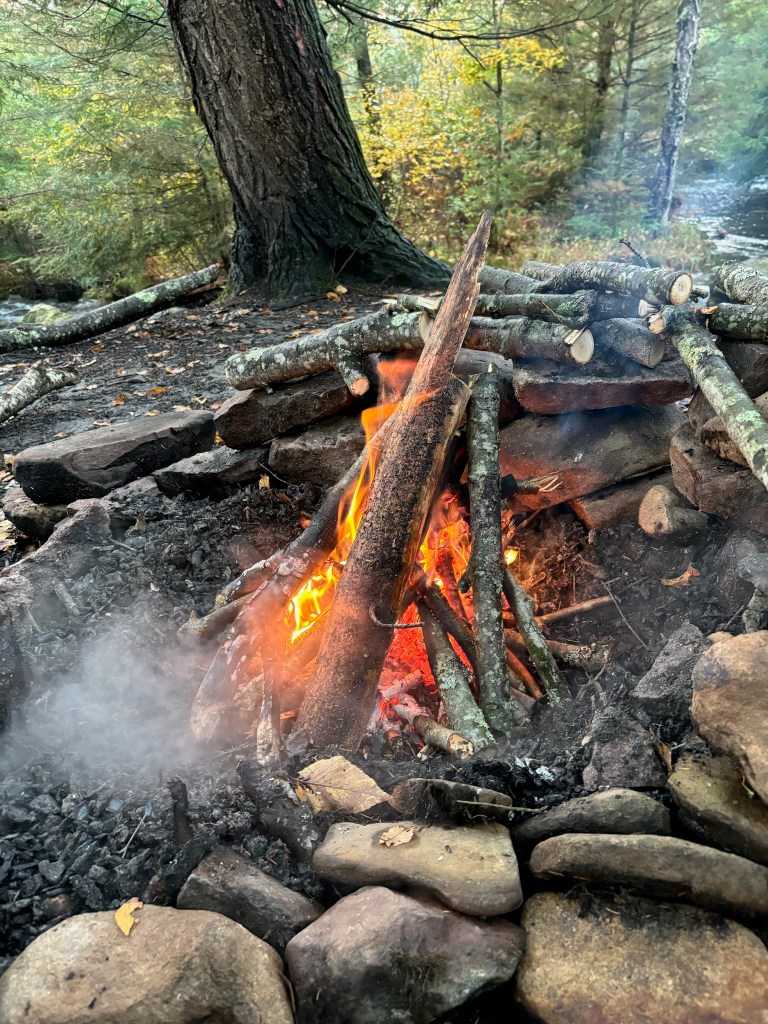
In defiance of the wet weather (the rain stopped about a half hour before we got to camp), we were able to get enough wood and get a fire going. This was the result of our carrying folding saws and Christine’s remarkable fire building talent. Also, she carried a piece of fat wood with her, knowing it would be a challenge.
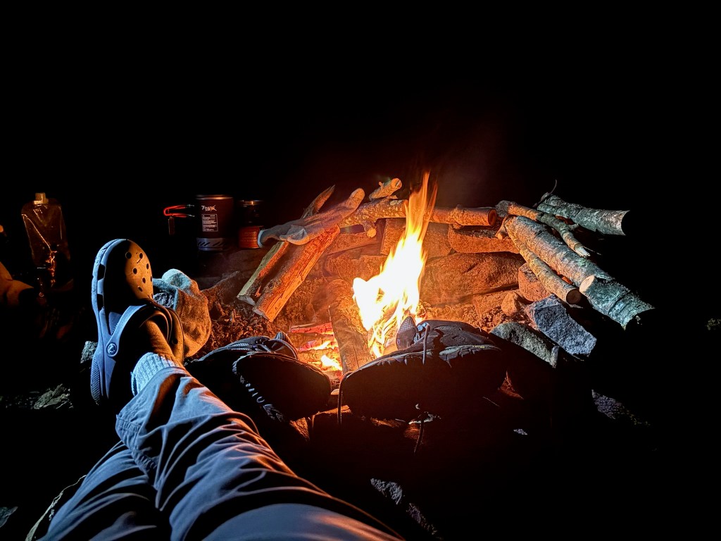
As it got dark, after our dinners of freeze-dried meals, we sat in front of the fire as the temperature was descending, drying boots and socks for the next day.
It got chilly overnight, to about 37 F, so we got the fire going in the morning to keep us warm for breakfast. We then broke camp and headed out for the second day’s hike which would take us close to our starting point then on to the north loop.
To get to the north loop, we decided to avoid a section called “the swamp”, part of an actual swamp which, given the rain the day before would have been a real trial of mud and muck. Christine hiked through the area previously on a dry day and said it was miserable. We had to take a long bypass around it, adding a mile or so to the hike that day. We also walked along a gravel road lined the whole way with dense rhododendron bushes.
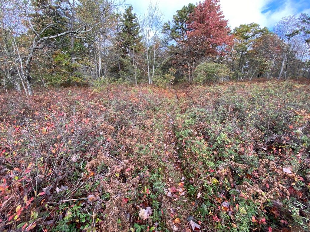
On the north loop, the terrain changed, with narrower trails, more rocks and a change from hardwood trees to a mix with pines. While there are no real vistas, the trails are very well marked and, with the fall colors, very eye-pleasing. Again, we had tunnels of rhododendrons and water under foot.


Our second day hike to our campsite along Painter’s Creek was about 11 miles, due to our diversion around the swamp. Our campsite was a peninsula bordered on three sides by flowing water. The sound from the water was very peaceful. We gathered wood for our campfire, and had to rebuild the fire ring which was not in good shape. One luxury we afforded ourselves, knowing it adds to the weight of the pack, was carrying a beer, which we chilled in the creek and shared sitting in front of the fire.

It got even colder overnight, to 36 F, but we came prepared. The next morning Christine got the fire going again, and we had a hot cup of coffee with breakfast.

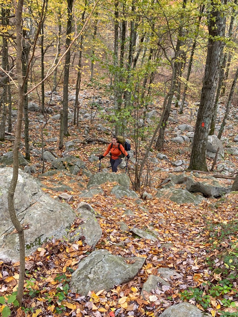
Heading out for the third and last day, our first effort, after breaking camp, was to cross Painter’s Creek. We managed to find some extended tree roots and slightly submerged rocks for footing, so did not need to roll up the pant cuffs and get our boots soaked. The north loop has some long trails with knee-level scrub, lots of rocks, and the width of the trail is about the length of a boot. One of the trail segments was the Sassafras Trail, and sure enough, we found sassafras growing there.
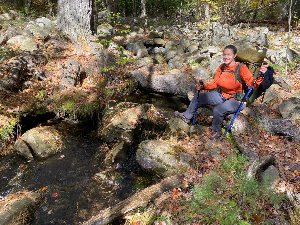
The rocks and boulders made for slow going, but we also came upon spring-fed creeks coming from under the boulders.
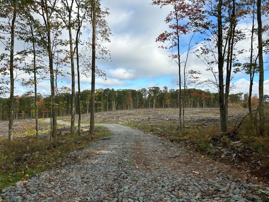
There was some lumber industry activity along the trail, which, according to the Pennsylvania Department of Conservation and Naturall Resources is part of an ongoing plan for management of the Pinchot State Forest.
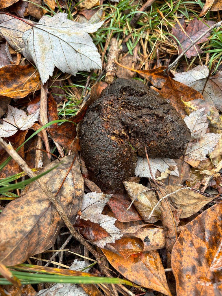
Clambering up some steep bouldered trail was our challenge for the third day’s hike. Along the way, we found some bear scat on the trail, but saw no bears. We also spotted a six point buck who quickly ran off when he saw us looking at him.
The last day’s hike was about six miles, plus another mile or so on the road to get back to our car. One thing other hikers have mentioned is the number of ticks they picked up going through the narrow trails and scrub brush. At this time of year, though, we got no ticks on us. We came across other backpackers on the trails, but just a few. While this trail gets crowded in the summer, this was an ideal time to hike it.