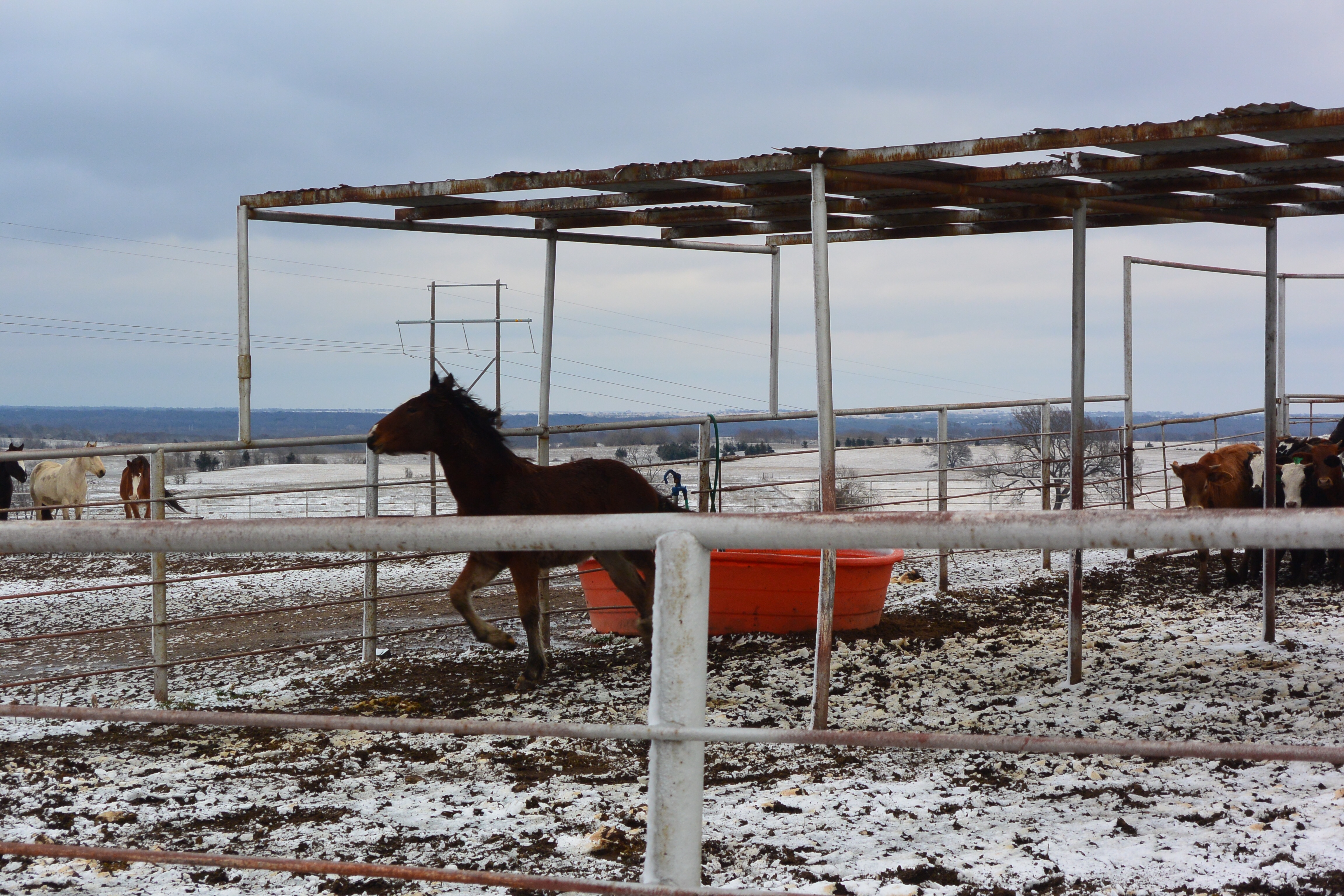
Horses in the pasture.
I had the opportunity to spend some time in what some refer to as flyover country. My wife and her sister share property bequeathed by her father in southeastern Oklahoma, a place very few people not from here would consider visiting. I would not say those people are missing out, as it would not be possible without the benefit of owning a chunk of this area to experience it like I did. But given the chance, it is a place of beauty, challenge and reward.
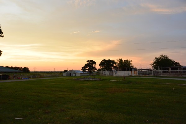
Early sunset with barns
My wife is investing a large amount of time and effort rehabilitating a house on the land that sits on a hill. We refer to it as the cabin, but it is really four old small houses and parts of houses stuck together at various times many years ago. This is why we are now calling it “The Cabins at Madill”, a fancy sounding name, like a resort in the woods. Madill is the nearest town, small and very “country”, nine miles away. The man doing the work is named Galen, and he is very talented at construction and hard-working. He grew up in the area, and knows its secrets, hidden roads, fishing spots and most of the locals.
The main part of the house has a bedroom, large living area, open kitchen and dining area. My son-in-law, Evan, and his friend Andy from Texas installed “mini-splits” two weeks ago, which are permanent HVAC units installed high on the walls. The units work great, and are necessary in a place where it is really hot in the summer and really cold in the winter. Galen reworked the ceiling in the living area, creating a high ceiling with cross beams, and installed a wood-burning fireplace. He put in new flooring all around, redid walls, rebuilt two bathrooms, installed new kitchen cabinets and appliances, and has replaced several windows. Rewiring required disturbing a skunk family and a snake under the house in the crawl space.
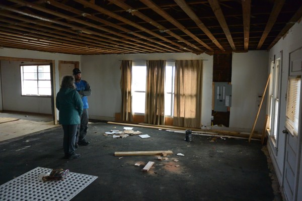
Early in the planning stages, the living area.

The living area with the new fireplace and the mini-split.
My wife and I arrived at DFW airport the night before July 4, following a three-hour delay for thunderstorms in Philadelphia. Fortunately, my rental pickup truck was still waiting in the lot for me, key on the seat, although the desk person for Budget was gone. We headed up to Denton, Texas and checked in to the Hampton Inn. Hampton Inns have great beds and always seem to be a delightful place to stay. The next morning at the breakfast buffet, we planned our day. It turns out, we had a lot of purchasing to do, at places like Home Depot and Lowe’s. First, though, we headed to the Guitar Center in Denton. After all, what good is a place in the country if you can’t sit on the front porch and strum your guitar? I found a nice acoustic, nylon string guitar to keep at the cabins. We then headed to Home Depot, where we bought a number of essentials, a shovel, some tools, a drill, a Weber grill, and a few other items. Back on the road, we reached Madill in an hour and a half, then went on to our house. It was warm, and as we stepped inside, the coolness told us the mini-splits were doing their job.

My new guitar. Galen brought his guitar over, and we sat in the living area playing music together.
We had plenty more to do to equip the house. We took a trip to town to the Walmart, to get groceries and household items. The grocery section of the Walmart is remarkably well stocked. They even had Mt. Rainier cherries, of which I am a huge fan. For dinner, we bought a roasted chicken and some broccoli. The Walmart also sells beer, nothing too exotic, but beer nonetheless. As we ate dinner, we were enjoying a marvelous sunset seen through our dining room window with the cows and a few horses in the near pasture, the subtle reds, oranges and purples of the sky and clouds, and the gentle hum of the mini-splits. After dinner with the darkness upon us, we sat on a tandem rocker on the front porch, playing the guitar and drinking a beer. Before long, the Independence day fireworks started, and we could see bits of four different displays, over Lake Texoma, in Madill, and in a couple other locations. Bugs were buzzing around us but were leaving us alone; we wisely had applied insect repellent.

Porch in daylight.
Galen had fixed plywood to the kitchen cabinets as a counter top until we could get our real counter tops installed. We had a working kitchen sink, and an unbelievably beautiful stove. We had a little old Sunbeam drip coffee maker that had one button, on/off, and made terrific coffee. Over the next couple of days we visited Lowe’s in Ardmore and Durant, buying a stackable washer and dryer and a dishwasher. These we hauled home in the back of our rental pickup truck, including bringing home the counter tops which had been previously custom ordered. We are not going too fancy with this place. We have vinyl flooring which has a wood look, and Linoleum counter tops.
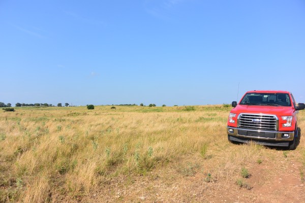
Our bright red Ford four door F150, on a tour of the ranch.
Speaking of the kitchen, we, that is my wife Kathleen and I, love to cook. There’s nothing quite like a gas stove to cook on, since one has complete control over the amount of heat applied to the pot. So, what does one do when there is not a gas line to the house. Yes, there is an old propane tank outside, but the idea of cooking on a propane stove was not very appealing. Thermador makes a nice one for $5000 at the low-end of their range, but you’re still using propane, which is dangerous. I talked my wife into going high-tech, still expensive, but much less than propane, and so much better than typical electric ranges which produce heat by heating a coil, or using radiant heat. We got a beautiful induction range with a convection oven. Briefly, induction ranges work by creating a magnetic field, which causes a current to form in a stainless steel pot set on the stove top. The pot heats up, but the cook top only gets as hot as the pot sitting on it. If one removes the pot, no heat is generated and in fact, the unit stops working until the pot is put back on the stove. In our early experiments, it has functioned beautifully, heating quickly, easily controlled, and very similar to cooking with gas without heating up the house.
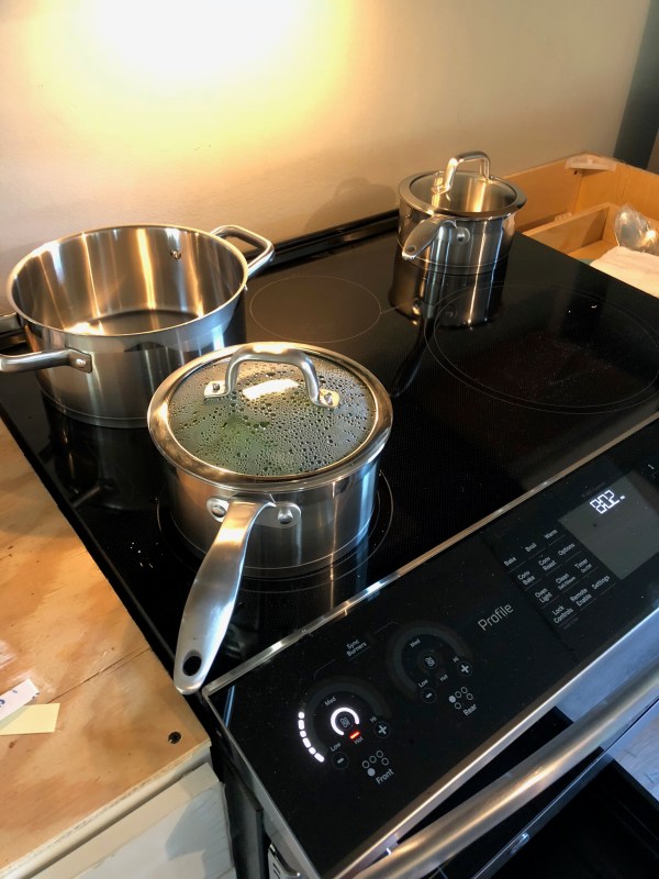
The amazing induction stove top.
This whole part of the country has been variably under shallow seas or dry over the last 550 million years. It presents a great opportunity to go fossil hunting. Galen showed us to a very special spot along the bank of lake Texoma, where many fossils can be found. We piled into our pickup and headed down to the lake. The roads we took would be impossible for a visitor to follow without a local to guide the way. From two lane highway, to gravel road, to dirt road, to a track with overgrown grass and trees, we made it to the lake. Here, we hiked down a steep embankment made up of broken up chunks of limestone, to start our fossil hunt.
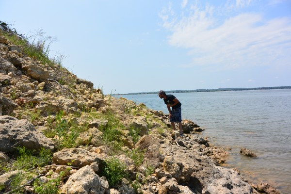
Galen uses his keen eyes to hunt for fossils along the bank of Lake Texoma.
Every rock we looked at was packed with fossils. Mostly, they were small shells, clams, scallops, and other bivalves. With careful probing amongst the rocks, we found trilobites, ammonites, and clams. I also found a fossilized bone. Doing a little research, I found that trilobites and ammonites lived in different eras, so it is interesting and a bit puzzling that they should be found in the same vicinity. Trilobites were incredibly long existing and diverse, with thousands of different subspecies. They lived during the Paleozoic era, starting 542 million years ago, and lasting until the great Permian Extinction, 251 million years ago, or almost 300 million years. Ammonites, a form of a cephalopod, lived mainly in the Cretaceous period, 200 million to 65 million years ago. Lake Texoma is a large, man-made lake, so perhaps the rise and fall of the water has caused the various strata to wash up on shore, or fall down the side of the cliff, into the same location. An interesting bit of information about the lake: the dam to create it, Denison Dam, was started in 1939. The last two years of construction, 1942 to 1944, German prisoners of war captured in North Africa were used as the labor.
Aside from creating one’s own entertainment, the big entertainment mecca here is the WinStar World Casino, located off Highway I35, one mile north of the Texas border. By square area, it is the worlds largest casino, and boasts 7,400 electronic games (like slot machines). We went to the casino on a Friday night to see Bill Maher, the comedian and talk show host from HBO. While he is on the liberal side, and Oklahoma is a very conservative state, between North Texas and southern Oklahoma, and some from parts farther away, he packed the 3500 seat auditorium and gave a great show. Typical of casinos, we had to walk past a mile or so of slots and blackjack tables to get to the event hall, and most of the machines were being used by hopeful gamblers. When we left, around 11:00 PM, the place was even more crowded. The casino is owned by the Chickasaw Nation, the tribe which is located in this area
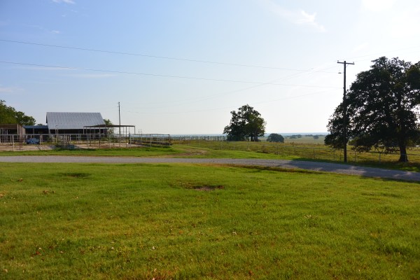
Exploring the ranch on which our “cabins” are located, there are a number of barns, out buildings, fenced areas for cattle management, and a few structures for which the function was not immediately clear. One barn has a bobcat living in it, which makes it a dangerous place to explore. Another barn has an old pickup truck that was deeded to my daughter, for some odd reason. The truck doesn’t run, but the tires are apparently in good shape. It would take some significant expense to get the truck running again. A big question for us is how to best utilize this property. Cattle ranching requires a lot of attention and not insignificant risk. Other ideas, however, include growing hops, creating a guest house experience for visitors who want to learn about the area, or several other ideas we are kicking around. It will be a great family meeting place to have Thanksgiving together.
The barn with the bobcat as tenant.
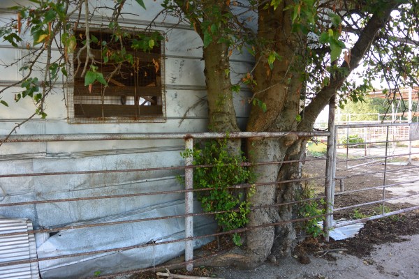
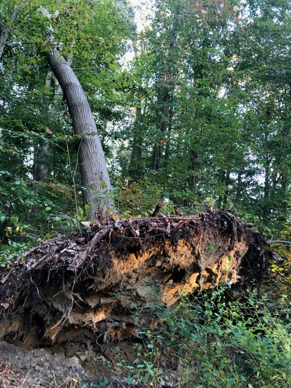
This tree has clearly not let anything get in the way of its growth.
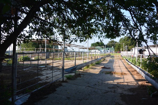
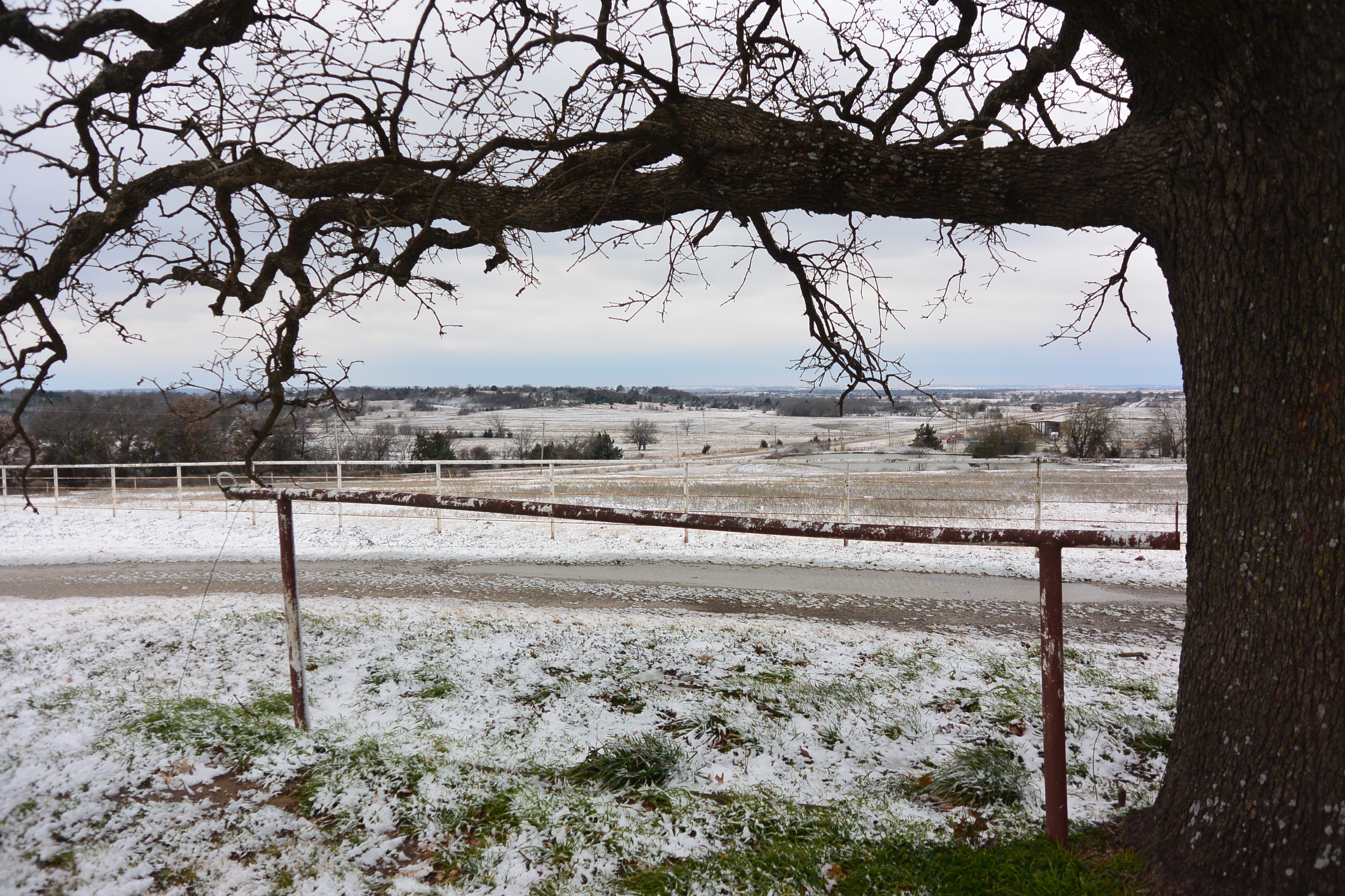
Livestock management areas.
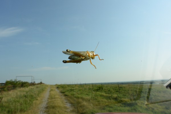
This creature decided to take a ride with us on the windshield.
It is hard to say what he is thinking.
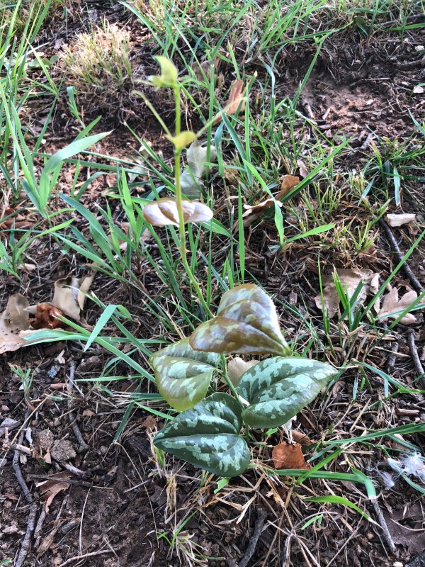
Every weed in this place has sharp thorns.
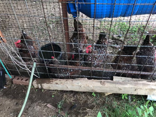
Galen’s coop of speckled Sussex hens provide him and his family with plenty of eggs.
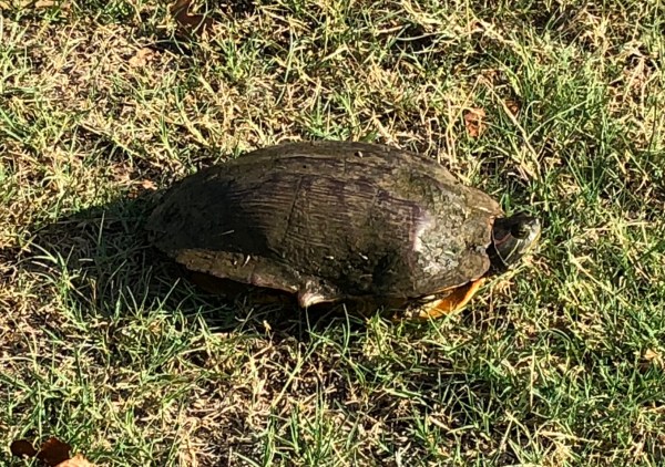
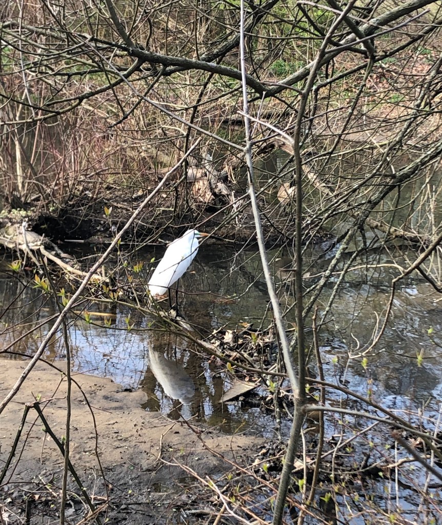
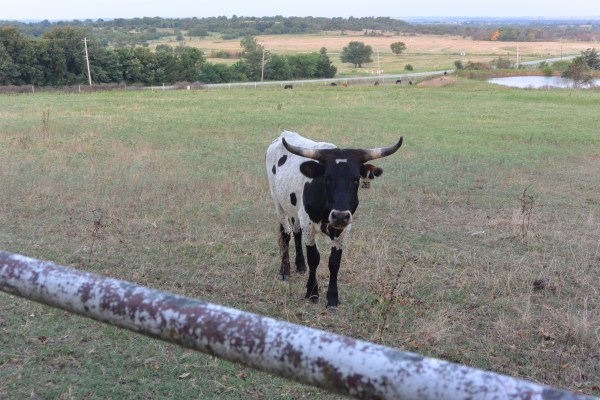
A local denizen who wandered far from the pond down the hill.
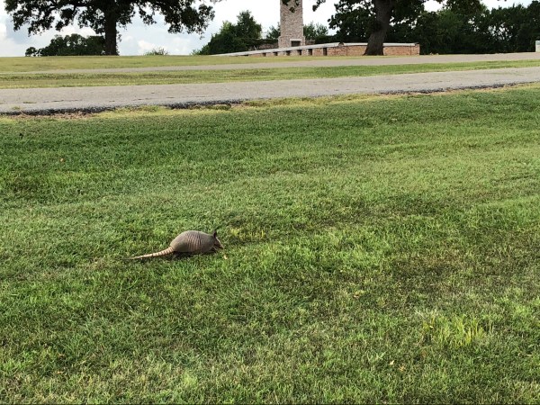
Another local denizen, this one seen at Fort Washita, a fort built in 1842 to protect the Chickasaw and Choctaw Indians from the plains Indians, and now owned by the Chickasaw Nation.
I had to leave our beautiful ranch on Sunday, five days after arriving. My wife stayed on to take care of some family business in West Texas. I look forward to coming back soon, to play my guitar on the front porch, to grill on our Weber on the back slab of concrete, and to explore some more of this very fascinating and attractive place.

Looking forward to the next trip down to OK.
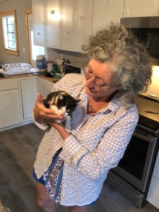
Kathleen has a soft spot for kittens.