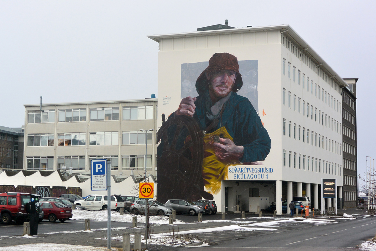
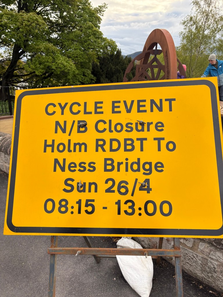
Last year I signed up to ride the Etape Loch Ness, a 66 mile ride around Loch Ness, finishing and ending in Inverness. The ride was scheduled for 26 April, 2026, which happens to be my birthday. This is a big event. Over 6000 riders participate, and the roads are closed to traffic. It is managed by Caledonian Concepts, an organization based in Inverness which also puts on the Inverness marathon and half marathon. I found out about this event because I had ridden BikeLondon in 2022, a 100 mile ride from London to Essex and back. That ride, unfortunately, is no more.
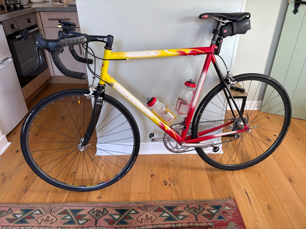
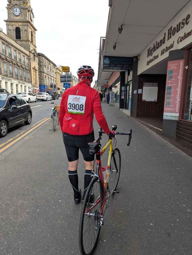
Once signed up, I had to work out the details of how to accomplish this. The majority of riders live in the UK, and so transporting their bikes was not a major problem. I, though, would either have to rent a bike or transport my bike. I started last year looking for a bike to rent. Inverness has a few bike shops but none had rental bikes. A limited number were available from a bike rental connected with the event, but these got snatched up as soon as the event opened a year earlier. I found a shop in Edinburgh I could rent a gravel bike from, but those logistics were a bit crazy. Therefore, I decided to bring my own bike. I have two road bikes, a Pinarello Opera from 2001 which I brought to Italy in 2002, and a fairly new Specialized Aethos with Shimano DI2 electric shifting and hydraulic disc brakes. The Pinarello has all mechanical gearing and caliper brakes. It has 53-39 chain rings in front and the casette is 12/26. The Specialized would clearly be the bike to ride since it is very light and has 52-36 chain rings and an 11-36 casette to help get me up the steep climbs. But taking a bike like this presents problems. The airlines don’t want the battery in the luggage, so the seat post and attached seat would need to be in hand luggage. I also had concerns about the hydraulic disc brakes losing fluid or getting misaligned. I decided to take the Pinarello. I had to refresh my memory on how to pack it in my bike box, information easily found online. Our flights would take us from Philadelphia to London, then transfer to a flight to Inverness.
I packed the bike as instructed in my old Trico Iron Case, unused since 2002. It was in surprisingly good shape inside, having sat in the basement waiting for this chance to be of service. My son cleaned out the back of his old Hyundai so we could get to the airport with that large case. At the airport, we were able to check it without any problem. There was no fee to check it, and it was checked through to Inverness. We made our transfer at Heathrow to the flight to Inverness with time to spare. Arriving at Inverness, our small commuter plane discharged passengers at front and back of the plane by roll-up stairs onto the tarmac. In the baggage area, which is a small tight room with a single carousel, we awaited our luggage. First the suitcases came off, then large items were brought through a separate door. There were equal numbers of bicycle cases and golf bags being delivered. My bike made it! We headed out to the terminal to meet up with our taxi driver.
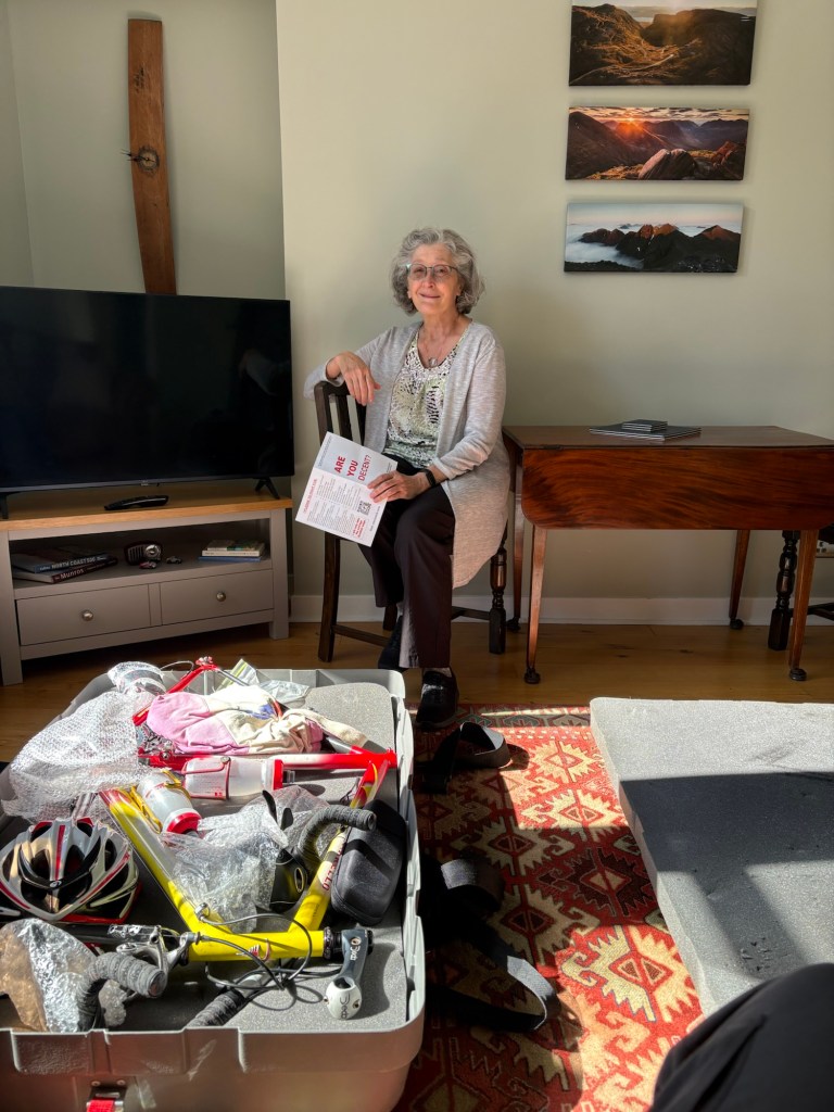
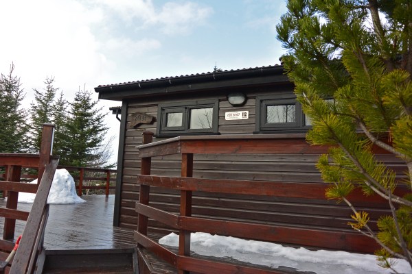
Our flat in Inverness was a very comfortable one-bedroom on Stephens Street, close to the center of town. It was very nicely decorated and the bed was wonderfully comfortable. As soon as we made it in. One flight up narrow curving stairs, I began to reassemble the bike. It went surprisingly well. After a little exploration of the flat, we headed downhill to a pedestrian zone to get some groceries. To our delight, a Marks and Spencer was a short walk from the flat, so we stocked up.
We arrived on a Friday. The next day, Saturday, I did a test ride on the bike, making my way to the ride venue to pick up my numbers. I was assigned a start in group C, out of 4 groups. The bike was in great condition. We walked around Inverness in the afternoon, and made pasta for dinner.
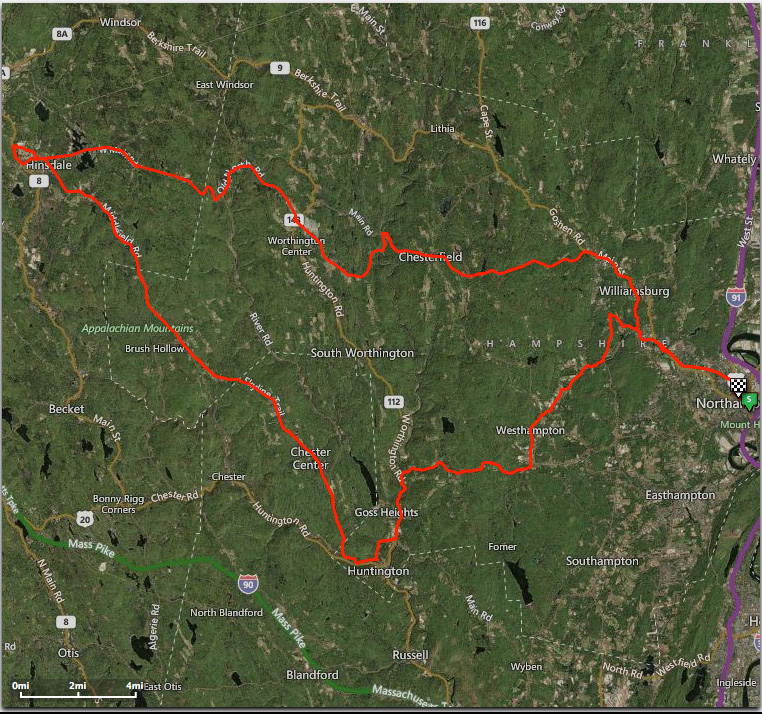
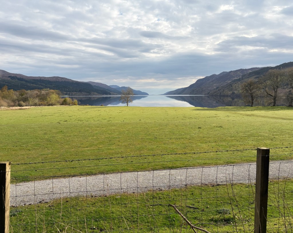
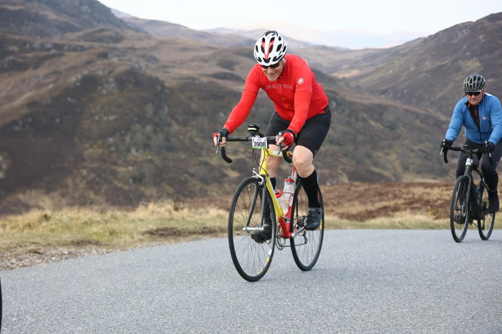
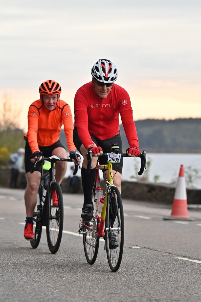
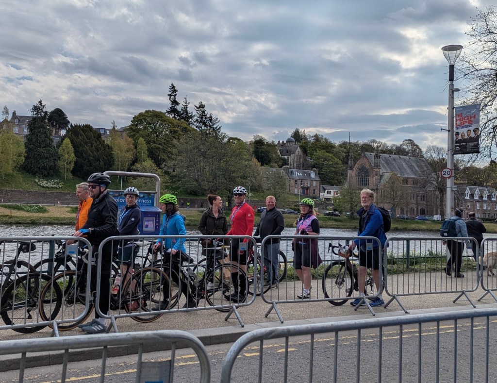
Sunday I headed to my start position at 5:50 AM, for a 6:30 start time. When I arrived, the narrow start area was chocked with cyclists, and I couldn’t make it to group C. I managed to get to the front of group D. The weather was in the 40’s F at the start and overcast, with no rain predicted. I was wearing a long-sleeve base, short sleeve jersey and arm warmers. I had on cycling shorts, but knee-high socks. I had my open-fingered gloves, and a helmet liner. The start was in groups of 300 with three minutes in between. We rolled out along the streets of Inverness. Loch Ness is south of Inverness, a long, narrow Loch, and famous for the mythical, perhaps real, Loch Ness Monster. After 5 miles we reached the northern end of the Loch. We proceeded on route 82, Inverness Road. There were some hills, but no killers, on the first half towards the southernmost point. I should have dressed more warmly. My fingers and hands were getting cold. I was able to maintain a steady pace, but my fingers got so cold I lost feeling in my thumbs. When I needed to shift to the small chain ring in front, my thumb didn’t work. I had to cross my hand over from the right and use the heel of my hand to shift. I was thinking it was good the temperature was above freezing so I couldn’t get frost bite. It was hard to enjoy the scenery since I was so cold. I was actually looking forward to the big climb coming at 35 miles so I would warm up. When I did look around the hills seemed pretty gray, without green grass and sunshine. There was a rest stop at miles 15 and 27, but I felt no need to stop. When we reached the southern end many of the cyclists stopped to take a photo. So did I.
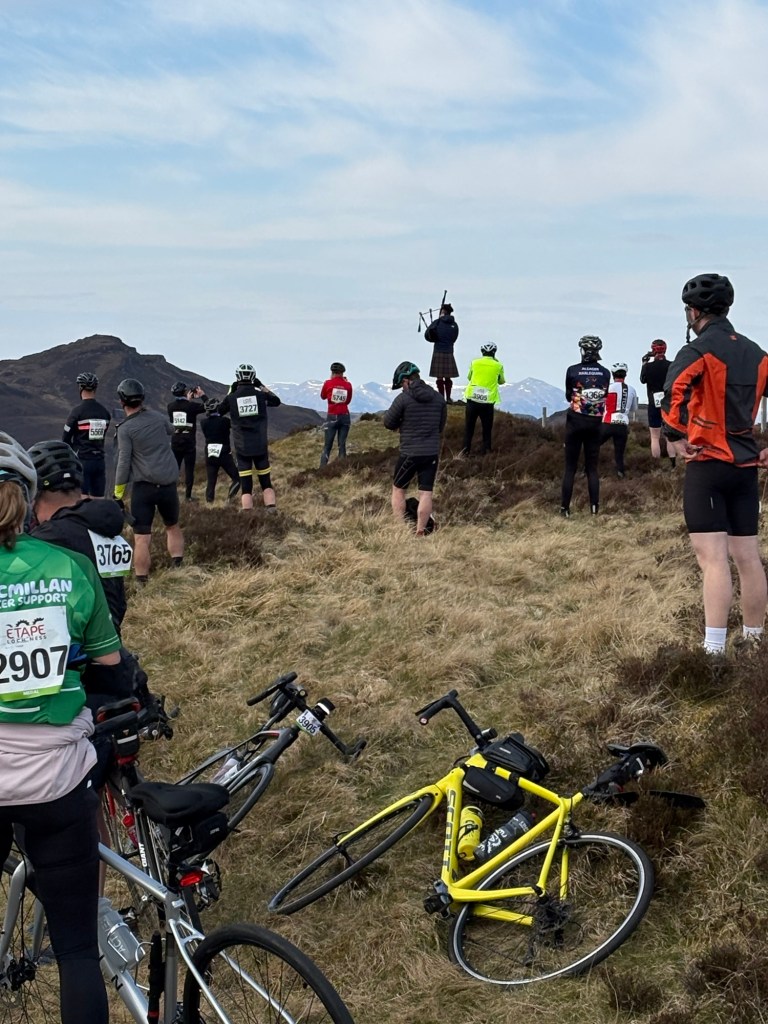
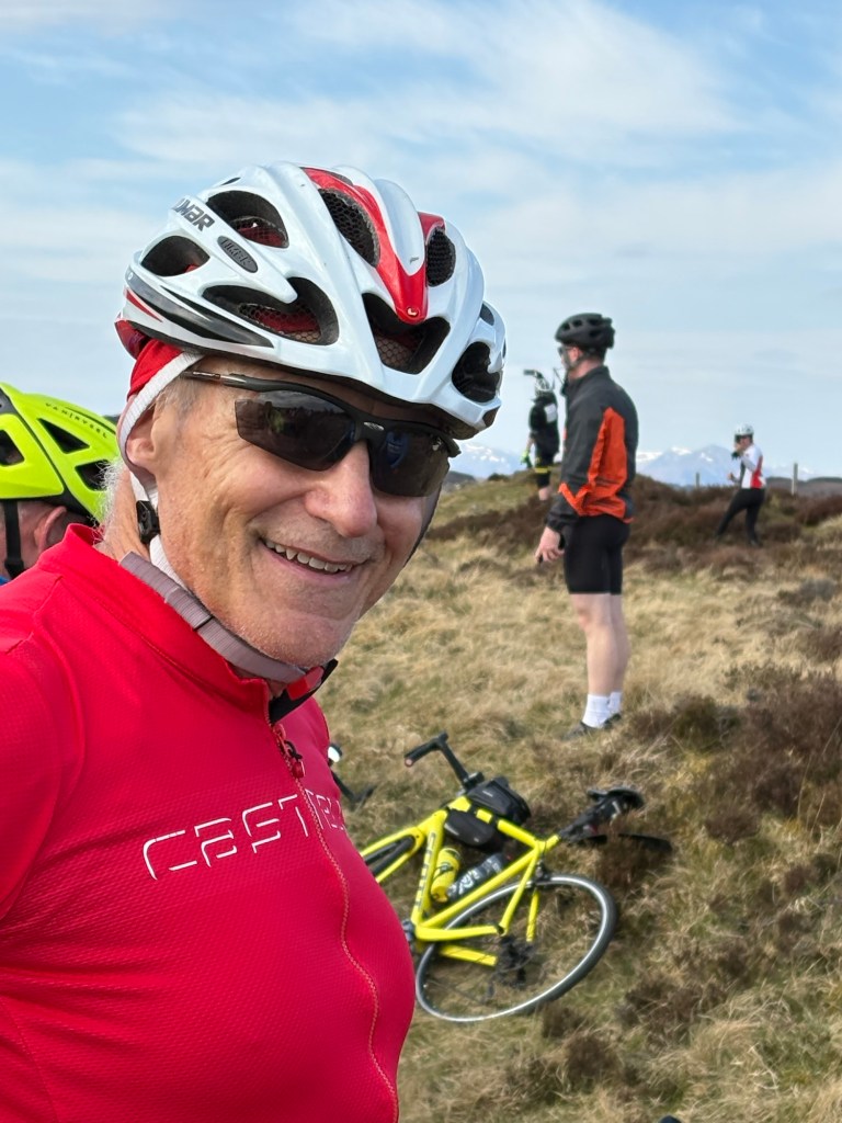
Next to come, and just past this point was a beast of a climb. It is 5 miles to the top, with a steady steep grade up. The first segment is about 1.5 miles at 11%. I got a little over half way, then had to get off and walk. Once at the top of this segment I mounted up for a short downhill then another 11-12% uphill. Again I had to walk midway. But I got some strength in the legs and powered up the remaining 2 miles of climbing which had some segments at 11% but mostly 7-9%.
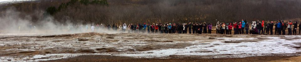
At the very top, we were rewarded by a piper standing tall on the hillside and playing the bagpipes for us.
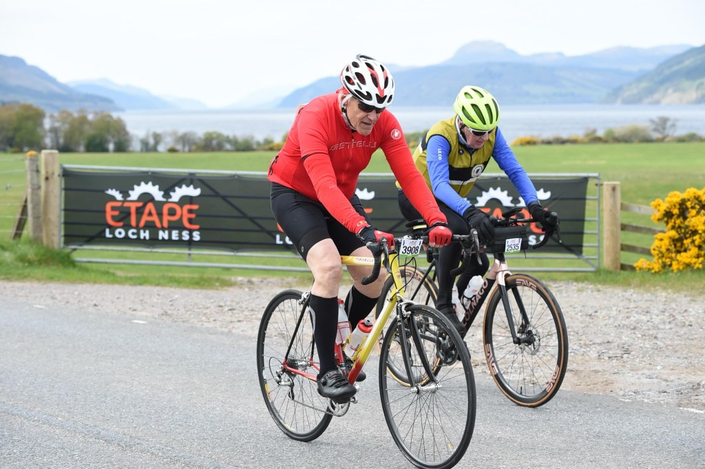
We were then treated to a long downhill run. By this time, my hands were back to normal. The remainder of the ride flew by. While there were few pro photographers on the outgoing road, there were a bunch on the return.
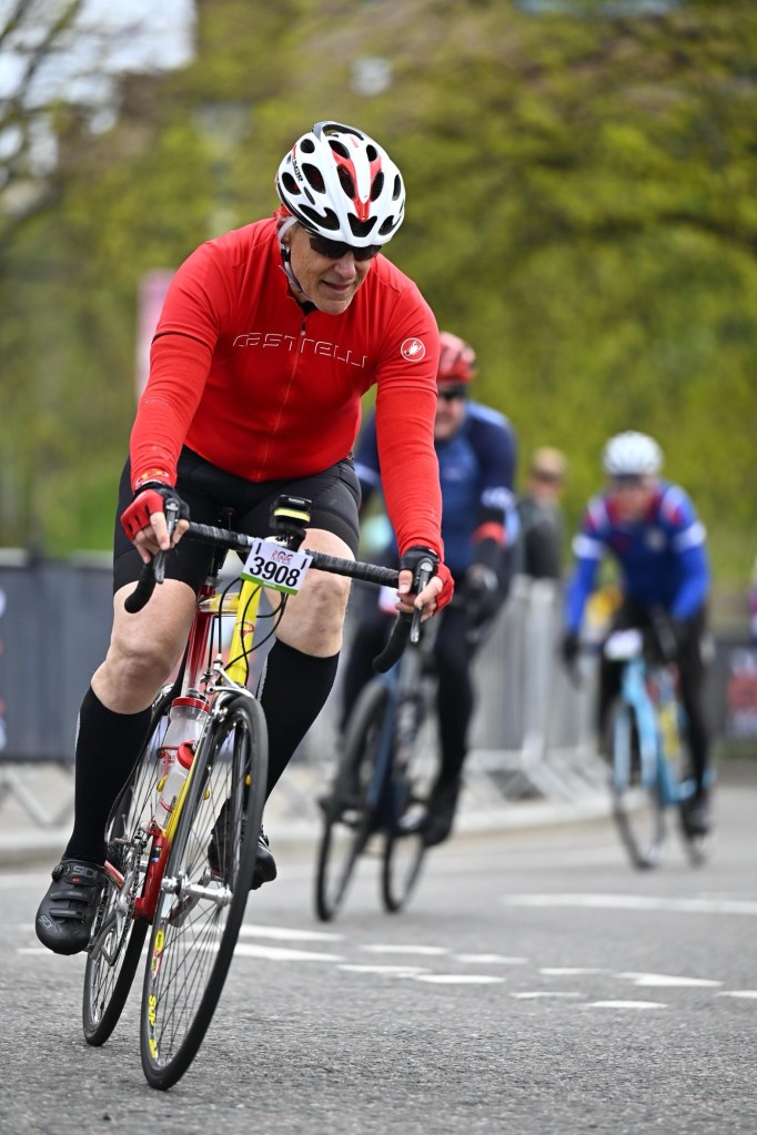
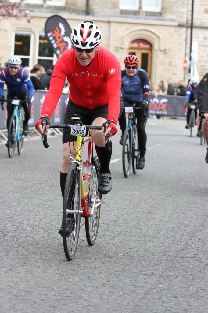
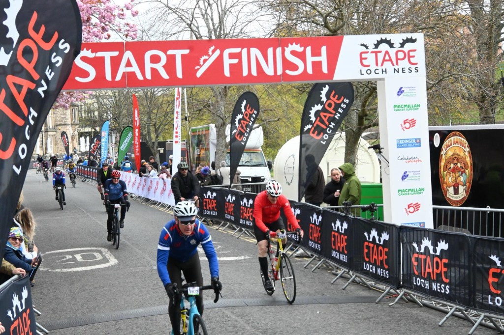
At the end of the ride, we cyclists made our way to the area where we collect out medal, get handed a large alcohol-free beer and a treat from a bakery called Harry Gow, local to Inverness. The bakery had puffy filled donuts containing an airy sugary creme. With my hands on these items, I leaned on the bar of a tent to dismount and came crashing down as the bar gave way. My Garmin is set to send a text to my wife and a friend back home I ride with in case I am in an accident. I saw that this message would be sent as I righted my bike. There is a cancel button on the screen which I held down, but it did nothing. The message got sent. My friend Dan in Connecticut texted me to see if I was okay. My wife texted she was on her way and was carrying clothes and sneakers. I let them know I was perfectly okay. I was unable to finish the beer as it was quite foamy. I took one bite of the pastry and felt that was enough.
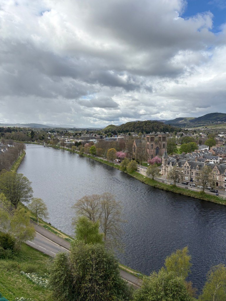
I found my wife, but we were on separate sides of the finish and many riders were streaming in. She took a photo of me as I walked my bike back to the bridge over River Ness.
We made it back up the hill, yes, one more hill to climb, and made our way back to our flat.
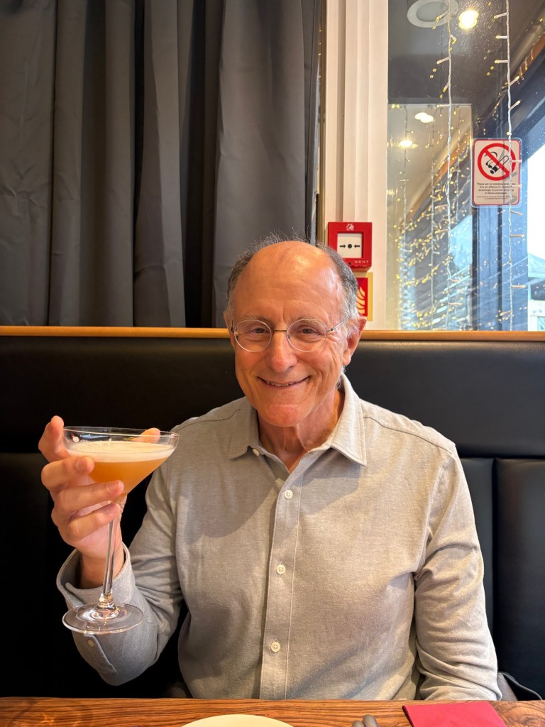
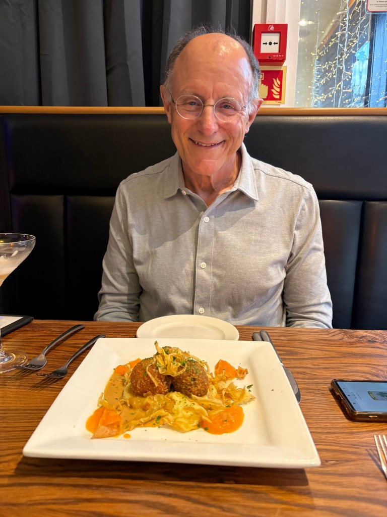
We rested that afternoon, then went out for a celebratory dinner at a restaurant named the Fig and Thistle just a short walk downhill from our flat. I had a cocktail, which is very rare for me. My appetizer was “haggis bonbons” and my main course was duck.
We enjoyed the rest of our time in Inverness very much. We did a castle tour, more like a tour of a state building showing off the best of Scottish culture, visited a whisky shop and had some samples, and had a “real beer”, hand pumped from the cask at the Castle Tavern. We were sad to leave our flat, it was so well-equipped and the bed so comfortable. But Tuesday, bike packed, we got a taxi to the bus station and took the bus to Glasgow. We spent another night there before heading home. Both my wife and I came away with a great fondness for Inverness. It was a short stay, six days in all. I would love to do it again, but with a bike with more accommodating gears for an old guy. I’ll have to figure that out.